
Mullins Station
Abandoned NC&STL Railway
Route Between Memphis, Jackson & Bruceton
Mullins Station (Shelby Farms) - Milepost ONI 217.2 (Page 2)


This is showing Mullins freight depot site. When I was a young man, I was a civil engineer technician for
Shelby County Engineering Office. I drew by my hands on the proposed parking lot mylar plan in north
of penal farm in May 1989. I remembered the surveying field book labeled "old depot" or something
where I wrote "CONC. FOUNDATION TO BE ABANDONED" in the lower-right corner of the dots
hatched area on the plan. If you have a picture of it, please let me know. You will be richly blessed!
Contributed by the Shelby County Engineering Office.
Click for enlargement
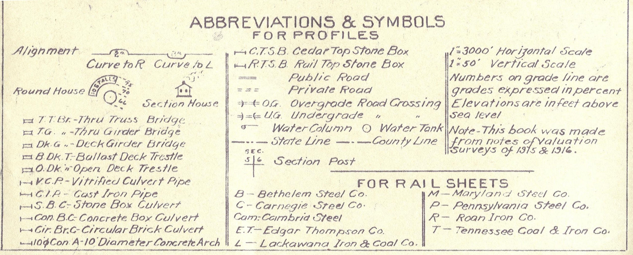
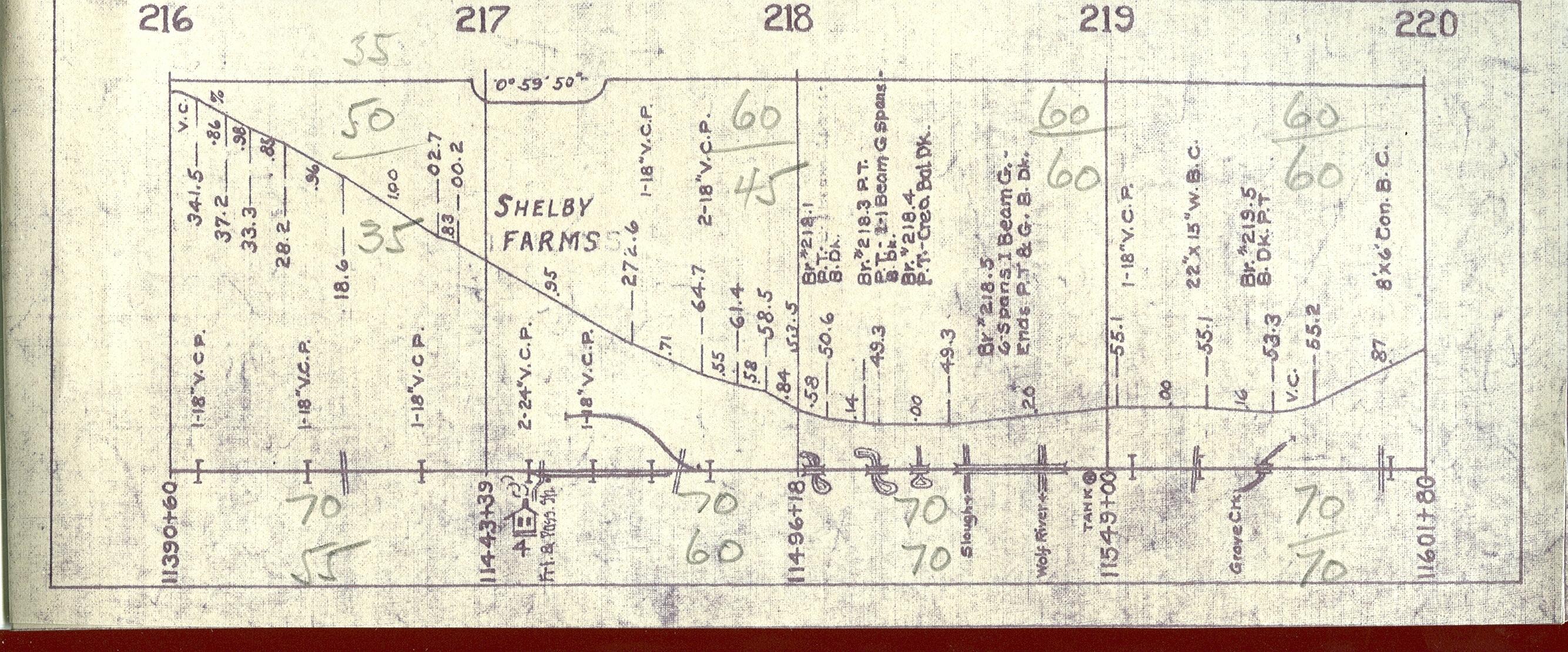
1913 NC&STL track diagram (updated circa 1930's). See legend for the abbreviations and symbols.

Click for enlargement
Topo map of Shelby Farms on July 1, 1998 by TerraServer-USA.
More Links in east of Mullins
- Mullins Station Road looking West (circa 2001) Milepost ONI 217.4
- Beside Mullins Station Road Street looking East? (circa 2000) Photo & Contributed by Joseph Yarbrough.
- Beside Mullins Station Road Street looking East? (circa 2000) Photo & Contributed by Joseph Yarbrough.
Eric's
Homepage | Bridges
| Depot List
| Mystery Station
| Photos |
Railroad Museums
Route Maps | Station
List | Steam
#576 | Timetables
| Track Realignment
| Contact Eric
This page maintained by Eric C. Fleet.
If you have materials that you would like to contribute, contact
me at EricFleet@ncstl.com